
Example studies
What a map of the past can answer.
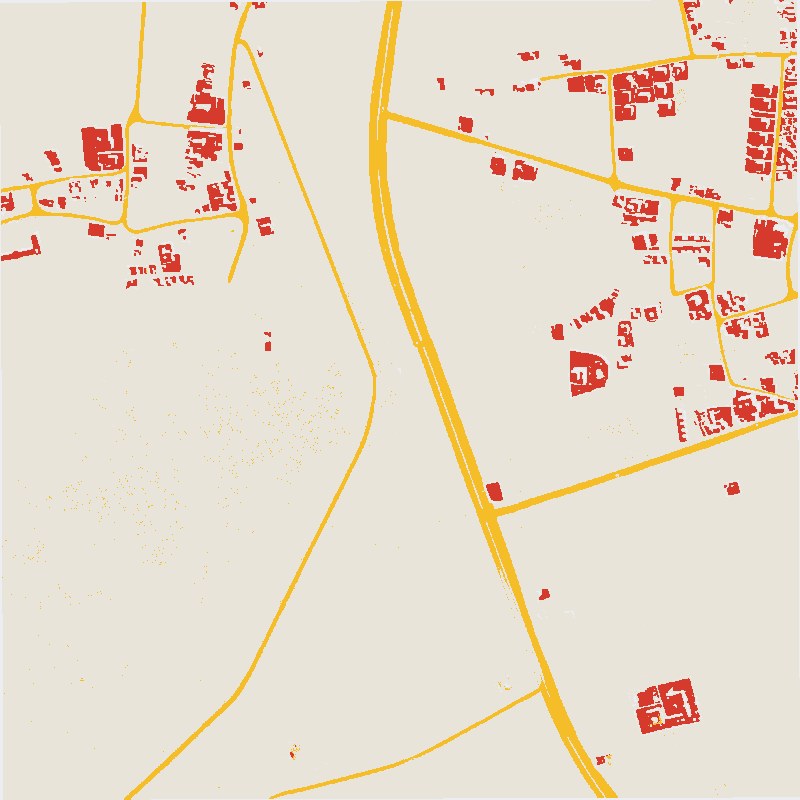
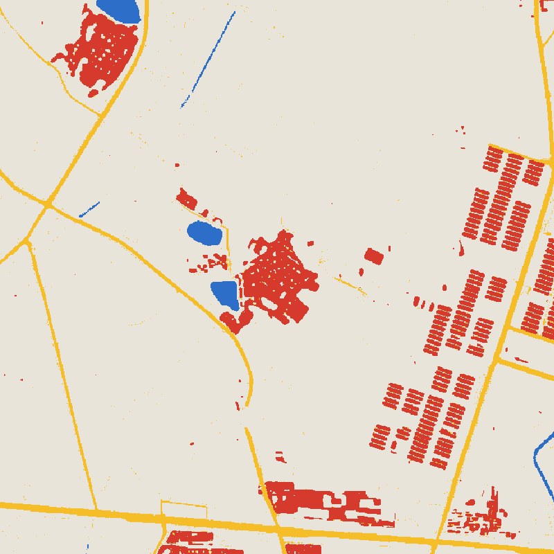
We classify old satellite film into buildings, roads, trees and water, then compare it with modern land cover. These four examples show the kinds of questions that opens up. See also our mining, forest and coast studies.
- Buildings
- Roads
- Trees (Panama only)
- Water
- Other land
01 / Urban growth
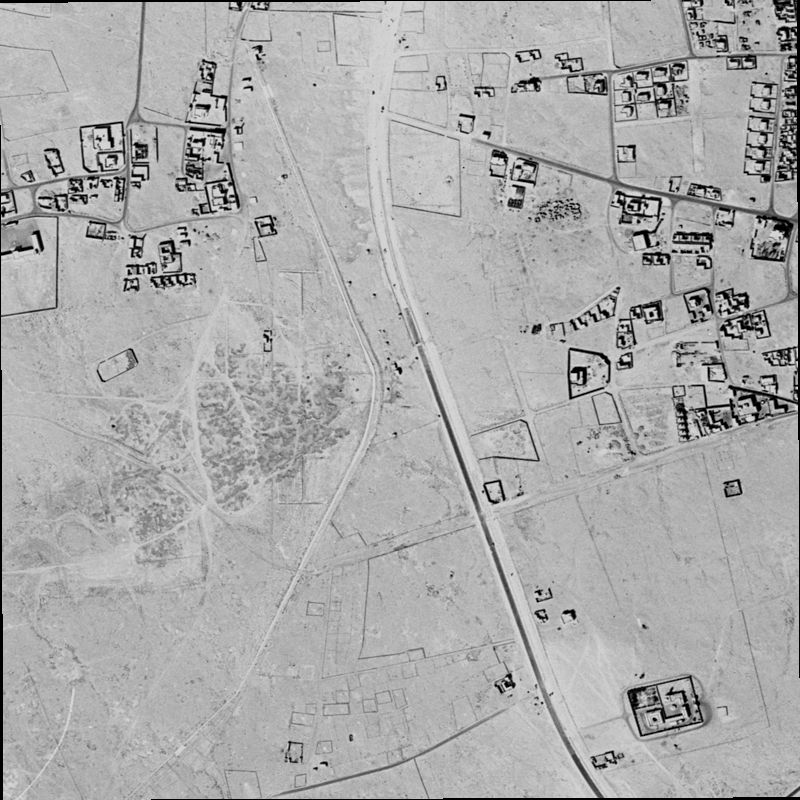
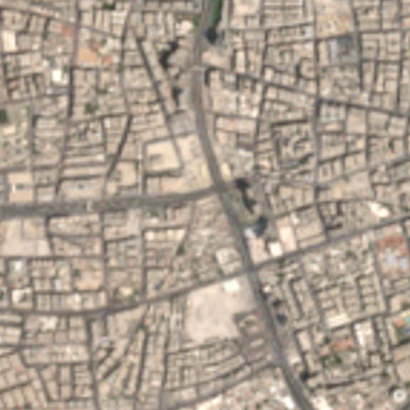
Doha: how fast did a desert town become a city?
In 1966 this part of Doha was scattered compounds and tracks. Today it is almost entirely built up, and the main road in the old image is still there.
02 / Coastal change
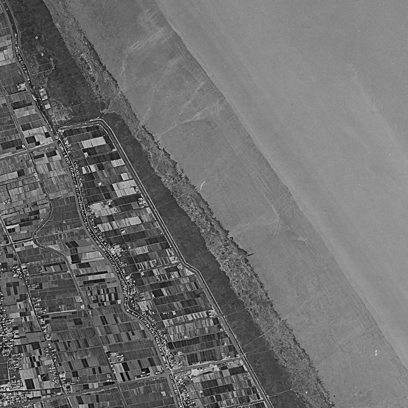
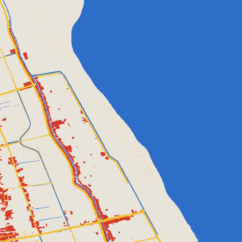
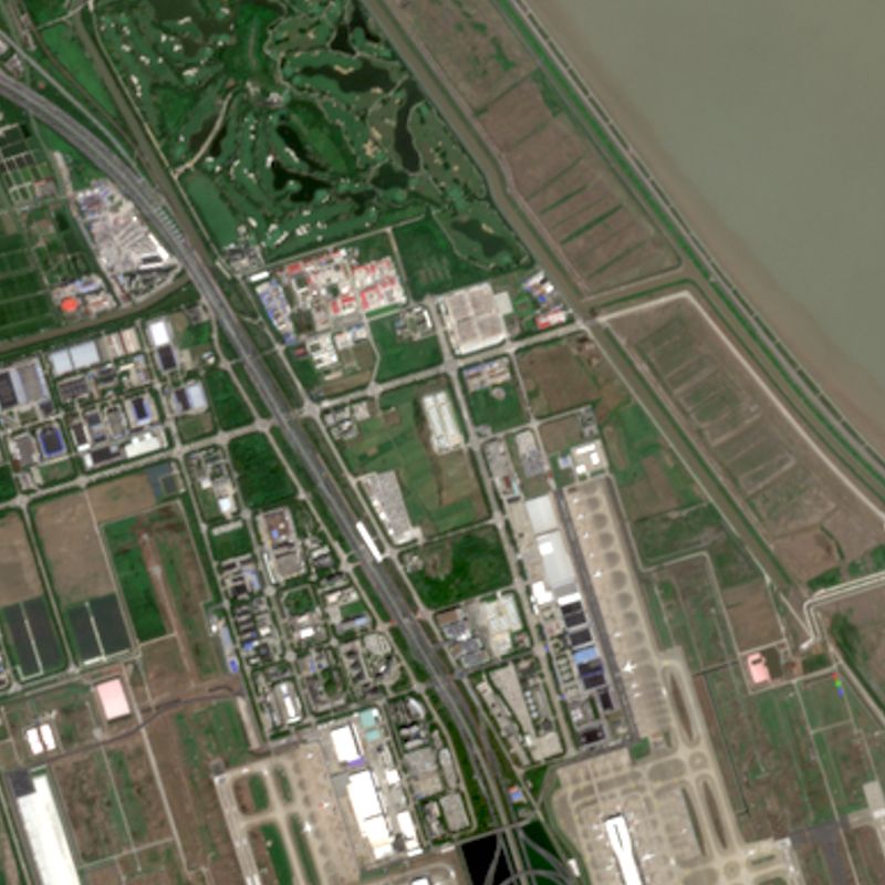
Shanghai: where did the new land come from?
The old film shows open water and mudflats beyond the sea wall. Much of that area is now land, on the edge of today's Pudong airport.
03 / Forest baselines
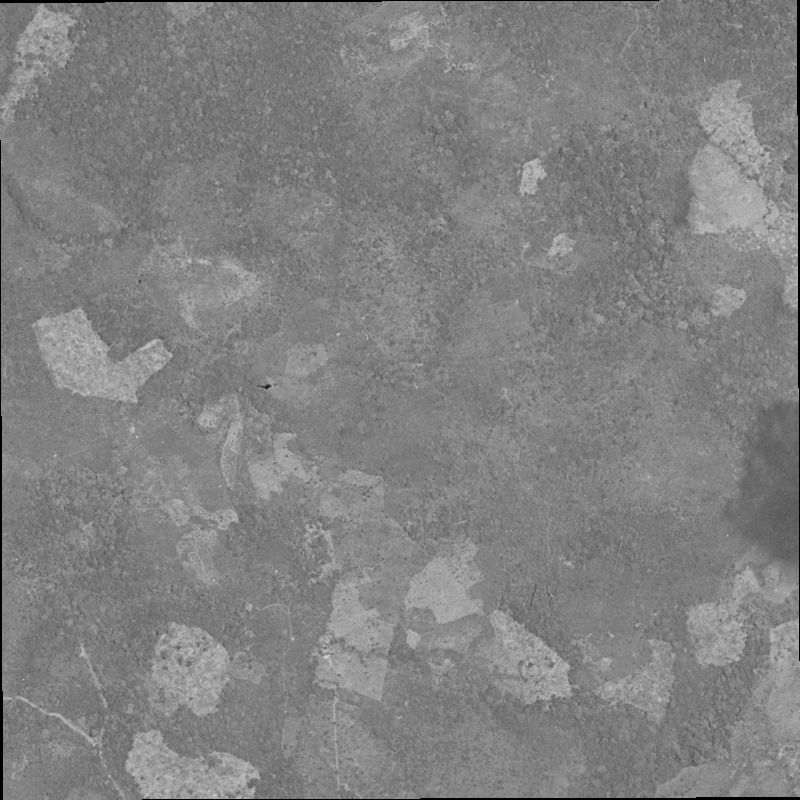
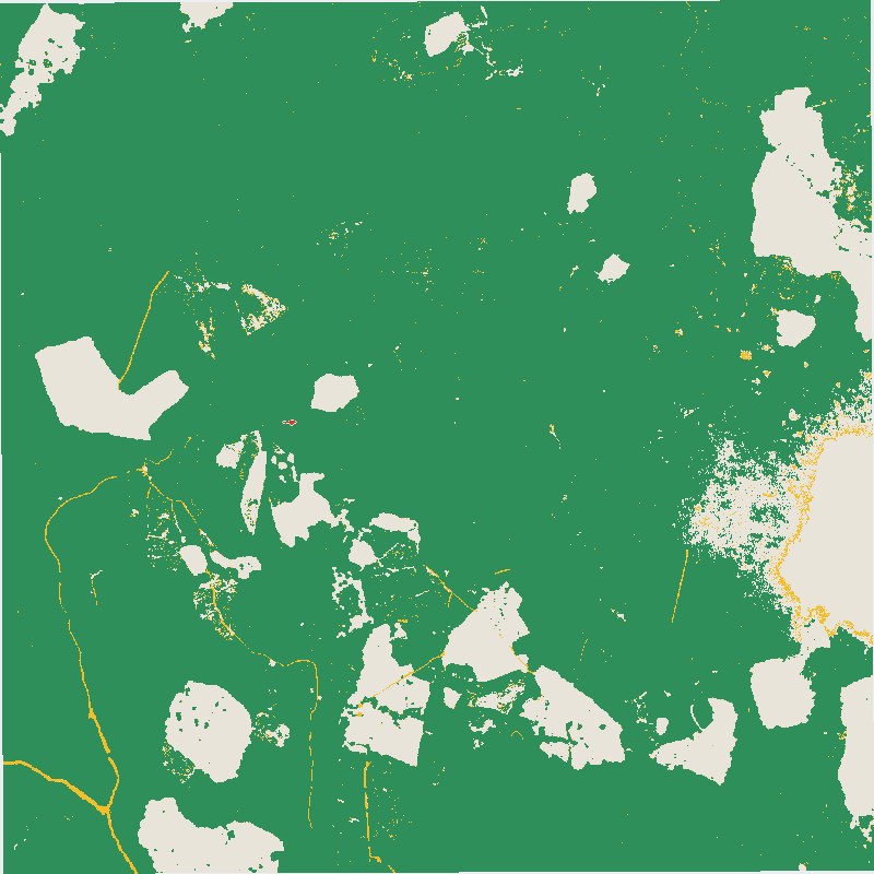
Panama: stable totals can hide a big swap.
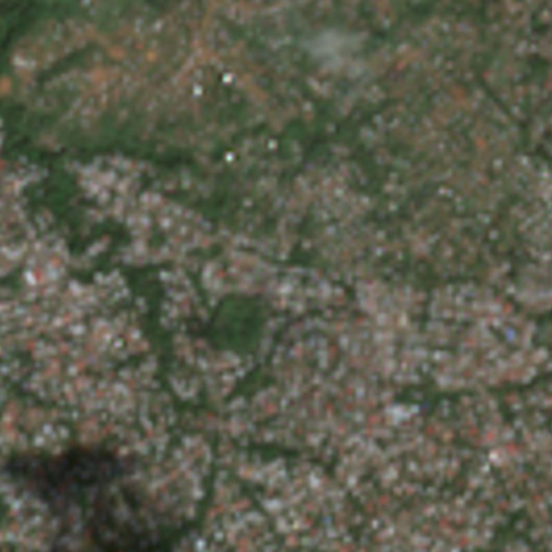
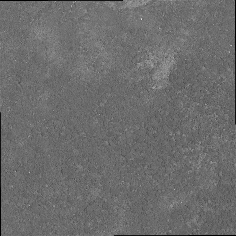
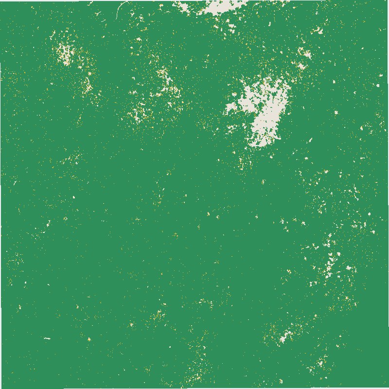
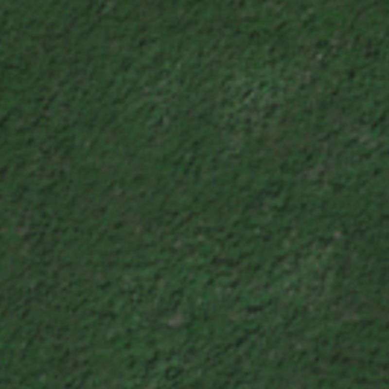
In the sample, forest area hardly changed between 1966 and 2021. But forest was lost in some places and gained in others. These two views, about 12 km apart, went opposite ways.
04 / Settlement history
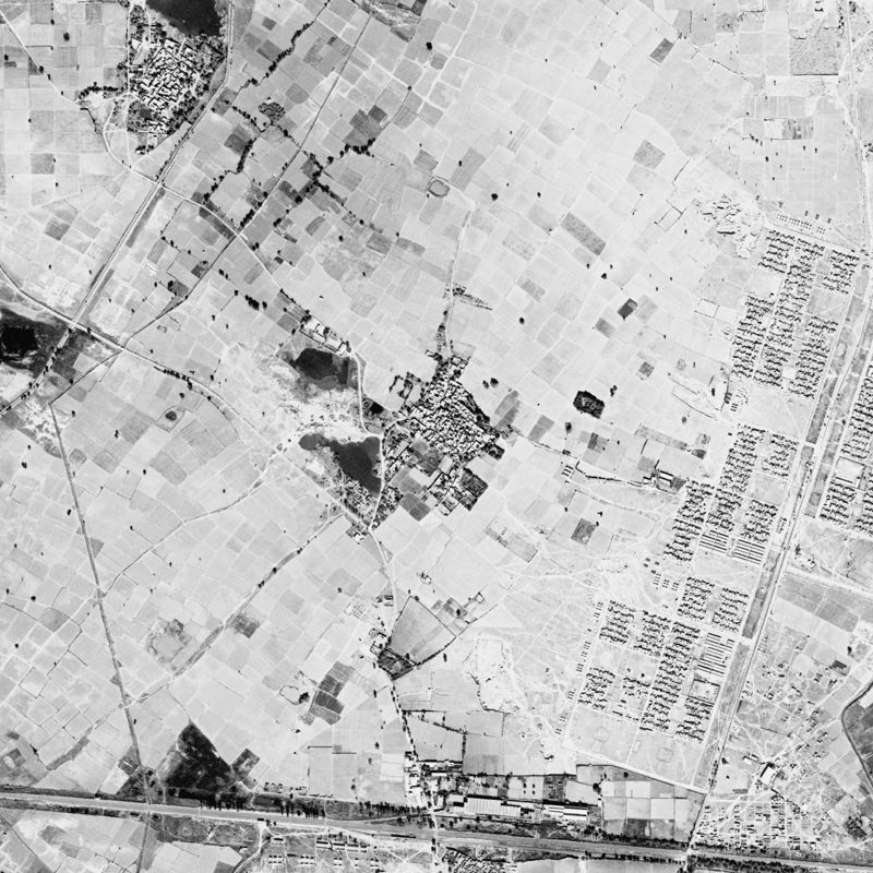
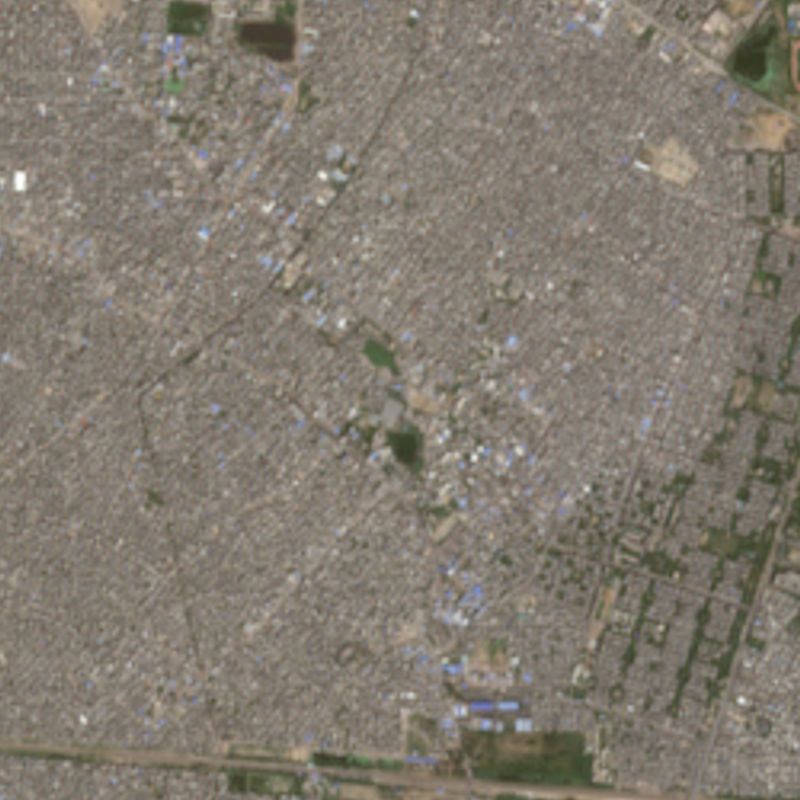
Delhi: the villages the city swallowed.
Around 1977 this village stood among fields. Today it is hidden inside continuous city, but its footprint can still be traced. We found 285 outlying settlements like it across the scene.
How to read these numbers
- The classifications are automated and have not been checked in the field. They suit screening and exploration. A commissioned study would validate them first.
- Doha, Shanghai and Panama figures cover sample areas, not whole cities. Delhi settlement figures cover the full 976 km² scene.
- The old maps were simplified to a 10 m grid to match the modern map. Ranges show how the result changes with the rule used.
- Delhi's date is an estimate from mission records, and Shanghai's date has not been confirmed yet.
- Tides and water levels can shift shorelines between images, so coastal figures are approximate.
Sources
- Historical imagery: U.S. Geological Survey declassified archive.
- Modern land cover: © ESA WorldCover project 2021. Contains modified Copernicus Sentinel data (2021) processed by the ESA WorldCover consortium.
- Modern pictures: contains modified Copernicus Sentinel data 2025–2026.